Journey to 6 lighthouses in Quebec
Prologue
The idea of reaching the Phare du Haut-Fond-Prince lighthouse by water first struck me during a vacation in 2021. There it was, standing far from the shore—curiosity sparked within me about its remote location. A quick look at the map revealed it was a solid 6 kilometers from the nearest land.
Fast forward to July this year: a friend (Louis Richer) bought a boat, and I secured my Canadian boating license. The plan? Finally visit that elusive lighthouse. But considering it’s a 400-kilometer trek from home, I decided to scout for more lighthouses in the region. To my delight, I found six accessible lighthouses nearby, all within a two-day journey—at least, that was my thought before we encountered the many quirks of traveling in a new area.
So, off we went in my friend’s Jeep Wrangler, towing a Pricecraft 175 boat, making our way to Tadoussac. The drive was 460 kilometers with the boat in tow, and our plan was to explore as many water access points as possible on the first day, aiming to visit the first three lighthouses. On the second day, we’d tackle the next trio before heading back home. We hit the road at 7 a.m., anticipating a long day ahead.
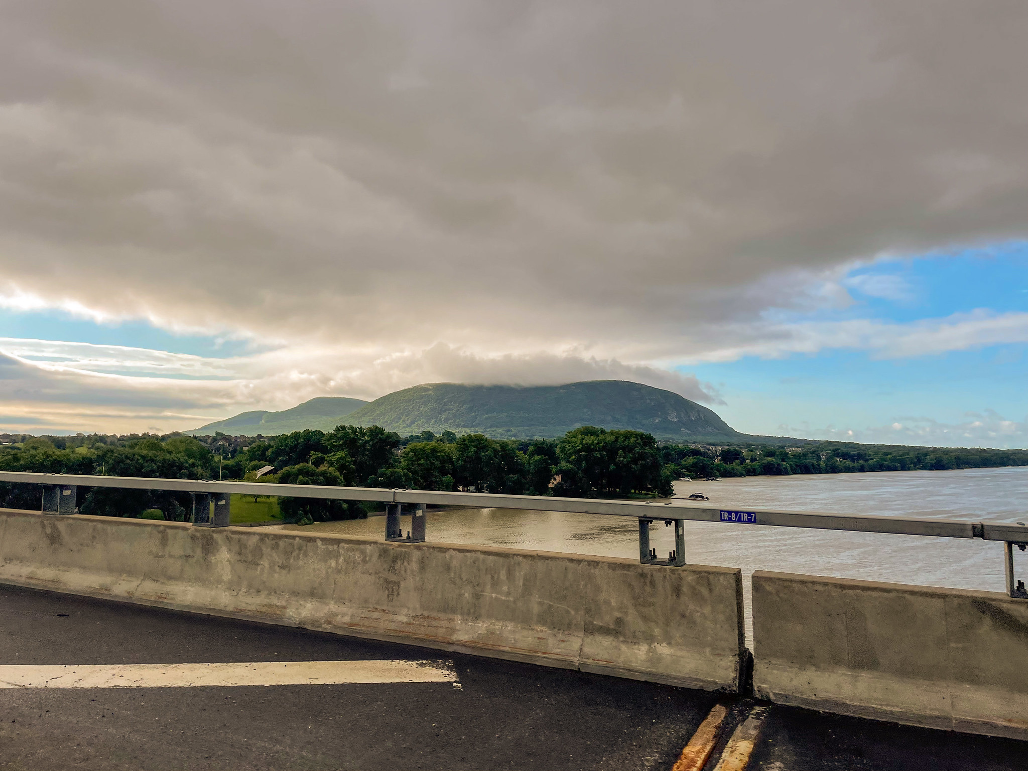 View of Mont Saint-Hilaire from Highway A20
The route from Montreal to Quebec City was smooth and uneventful. However, an hour past Quebec City, the fun began as the road twisted with steep hills, taxing our engine on the climbs and our brakes on the descents—especially challenging since the trailer lacked electric brakes. The steepest descent came in Port-au-Persil, where we almost cooked our brakes on a 14% incline while approaching our first water access point.
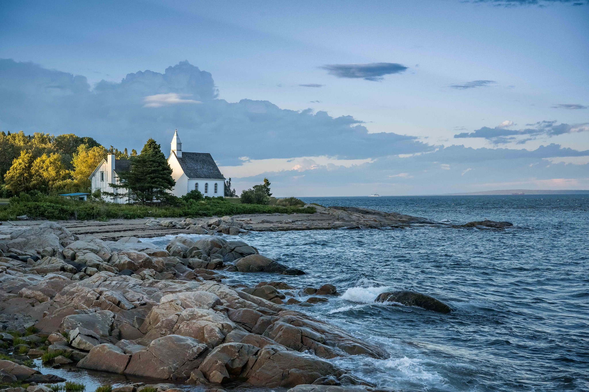 Port-au-Persil
Disaster struck early on when we arrived at the first launch site. I peered down at the ramp and realized it was almost dry—only a few inches of water remained. I turned to my friend and asked:
“Did you not know there are tides here?”
“Shut up. I don’t want to talk about it,” he replied, walking away.
It was a classic oversight; we hadn’t accounted for the tides in this far-flung region, where the difference can be up to 3-4 meters. With no chance of launching the boat there, we hastily searched for other ramps, hoping to find one where we could finally get the boat in the water.
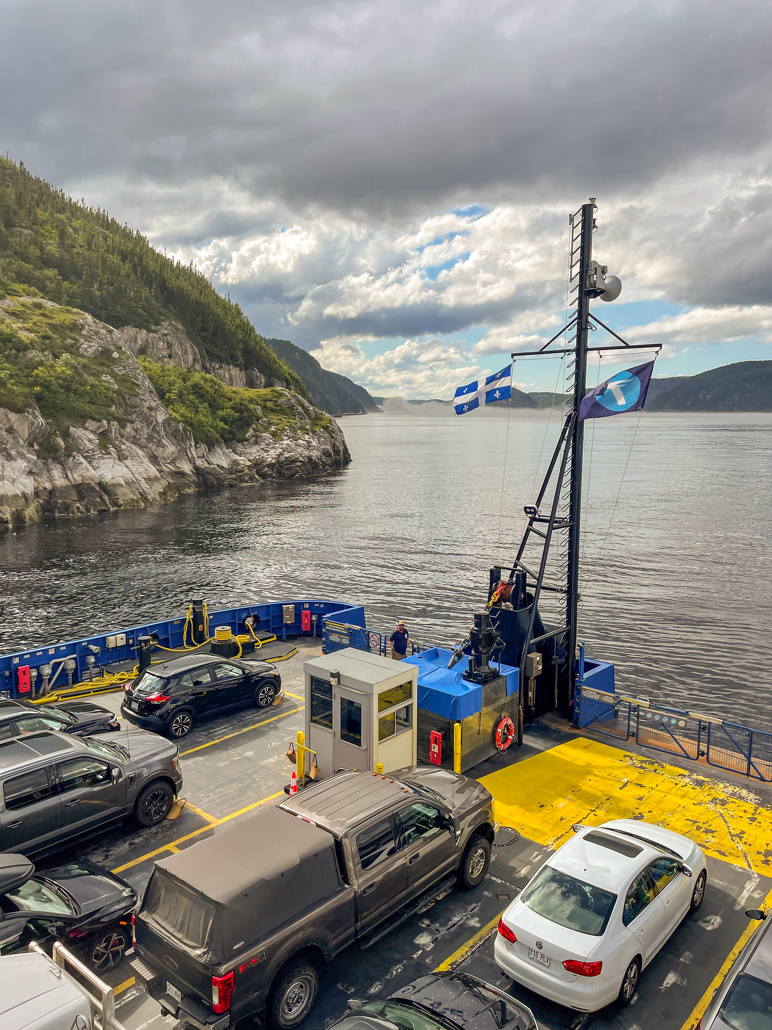 Ferry from Baie-Sainte-Catherine to Tadoussac
Realizing we wouldn’t be launching that day, we switched gears. Our mission: locate a water access point that would accommodate us. The next high tide was at 3 a.m., with low tide peaking at noon. We decided to leave the boat at our hotel’s parking lot and go searching. Unfortunately, the same issue plagued Baie-Sainte-Catherine, where the ramp was also inaccessible during low tide. We trudged back to Tadoussac, where we learned that we could launch for free at the municipal beach, open at any time. It was a sandy ramp with some rocks, but it was a lifeline. We noted this for the morning, needing to arrive early between tides.
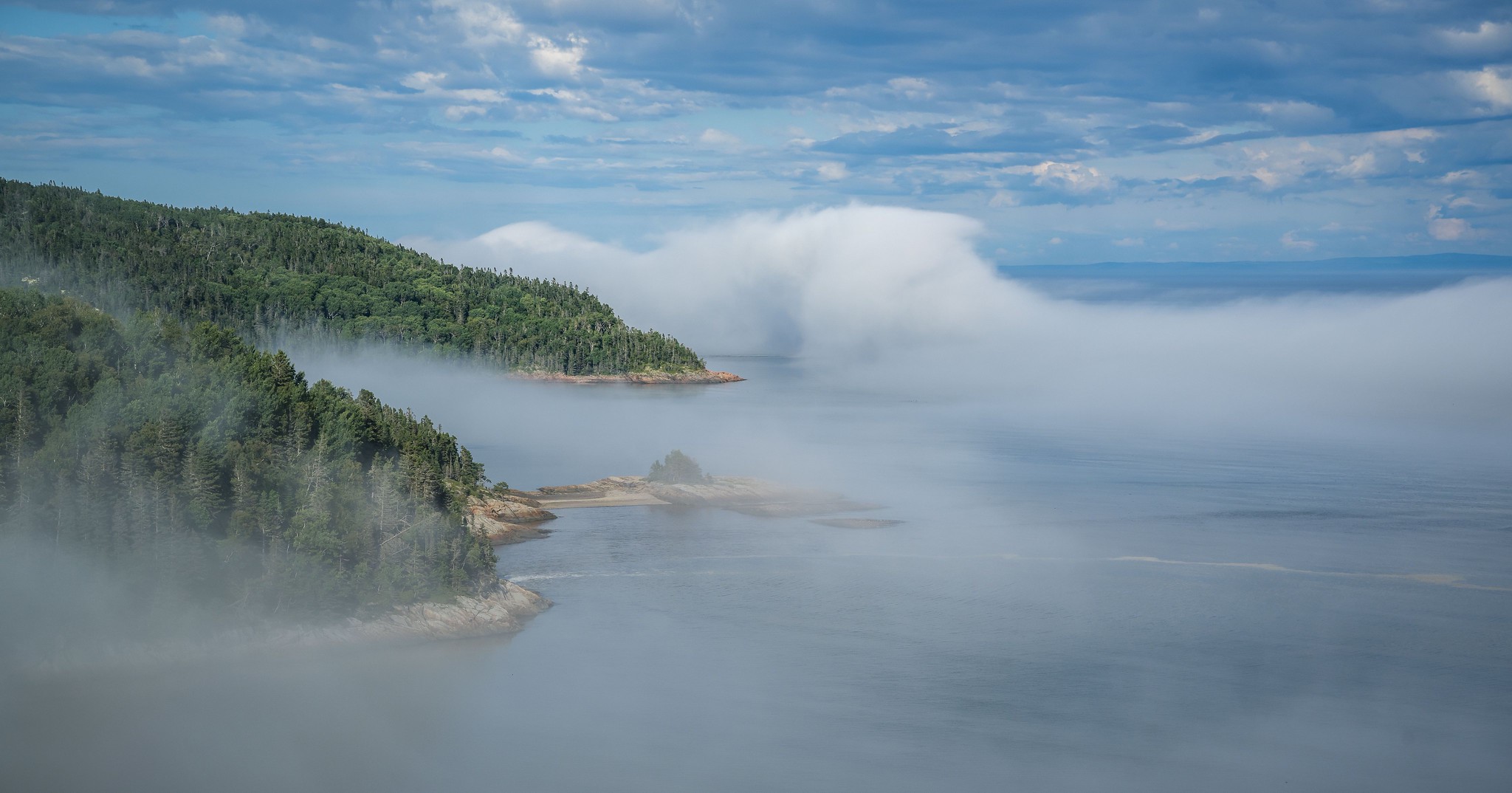 Les dunes, Tadoussac, Quebec
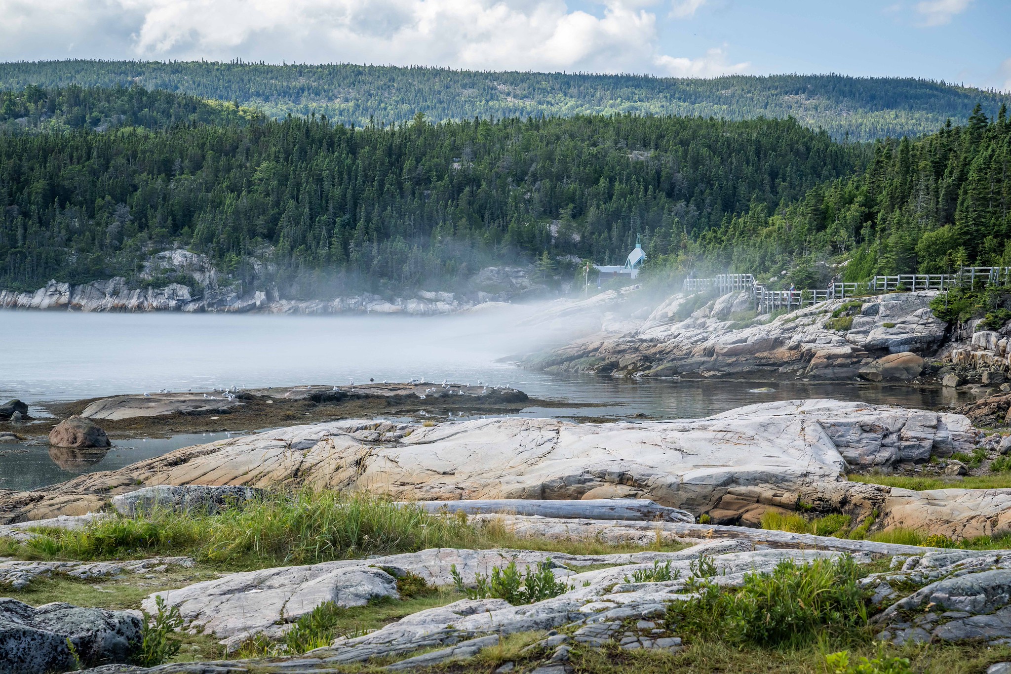 Tadoussac
 Tourists on whale watching tour in Tadoussac
 Myself
After a leisurely stroll along the waterfront, we dined at a restaurant and settled in for the night at a hotel in Saint-Siméon.
On day two, we left the hotel at 6 a.m. and headed back to Tadoussac. After 40 minutes of hilly driving and a 30-minute ferry ride, we arrived. I readied the boat while my friend parked the car, but as I did, the tide was going out fast. Before I realized it, the boat was half on dry land. I tried to push it back into the water, but it wasn’t working. Thankfully, my friend returned with two more helpers, and together, we managed to get the boat afloat.
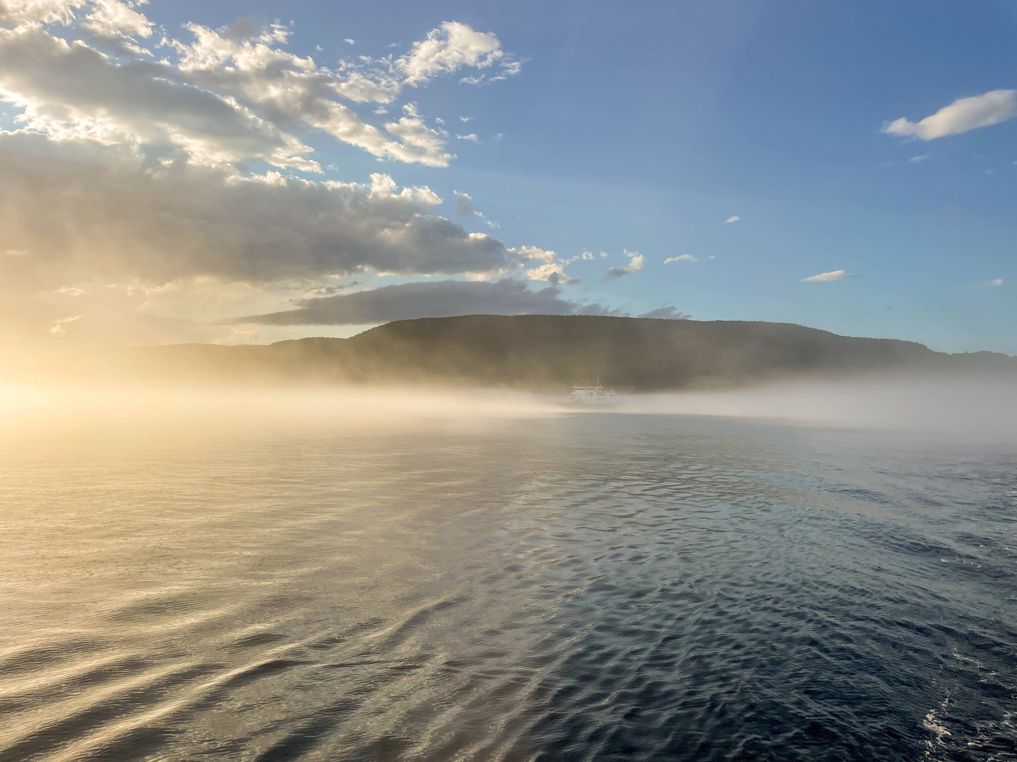 Ferry from Baie-Sainte-Catherine to Tadoussac
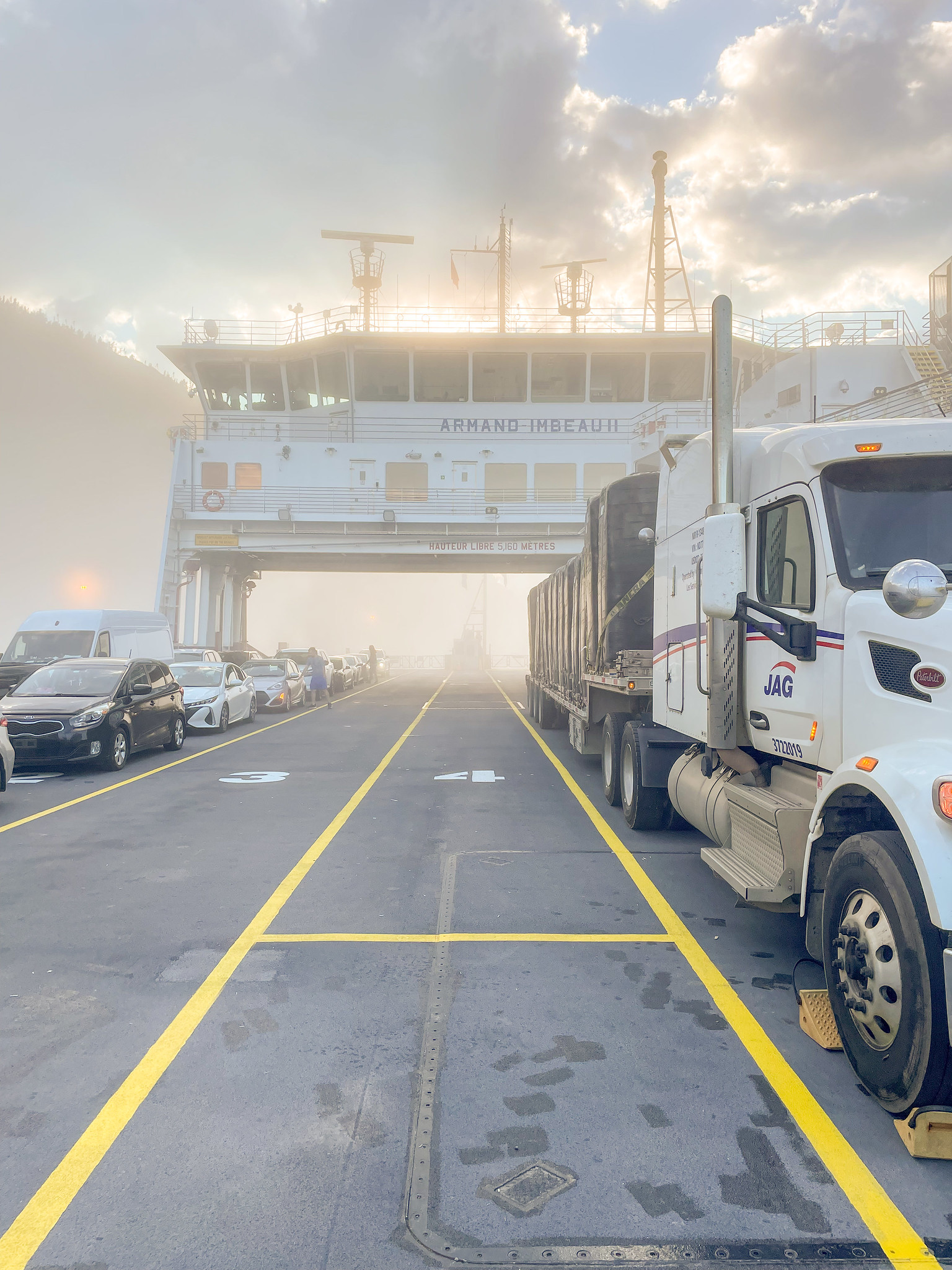 Ferry from Baie-Sainte-Catherine to Tadoussac
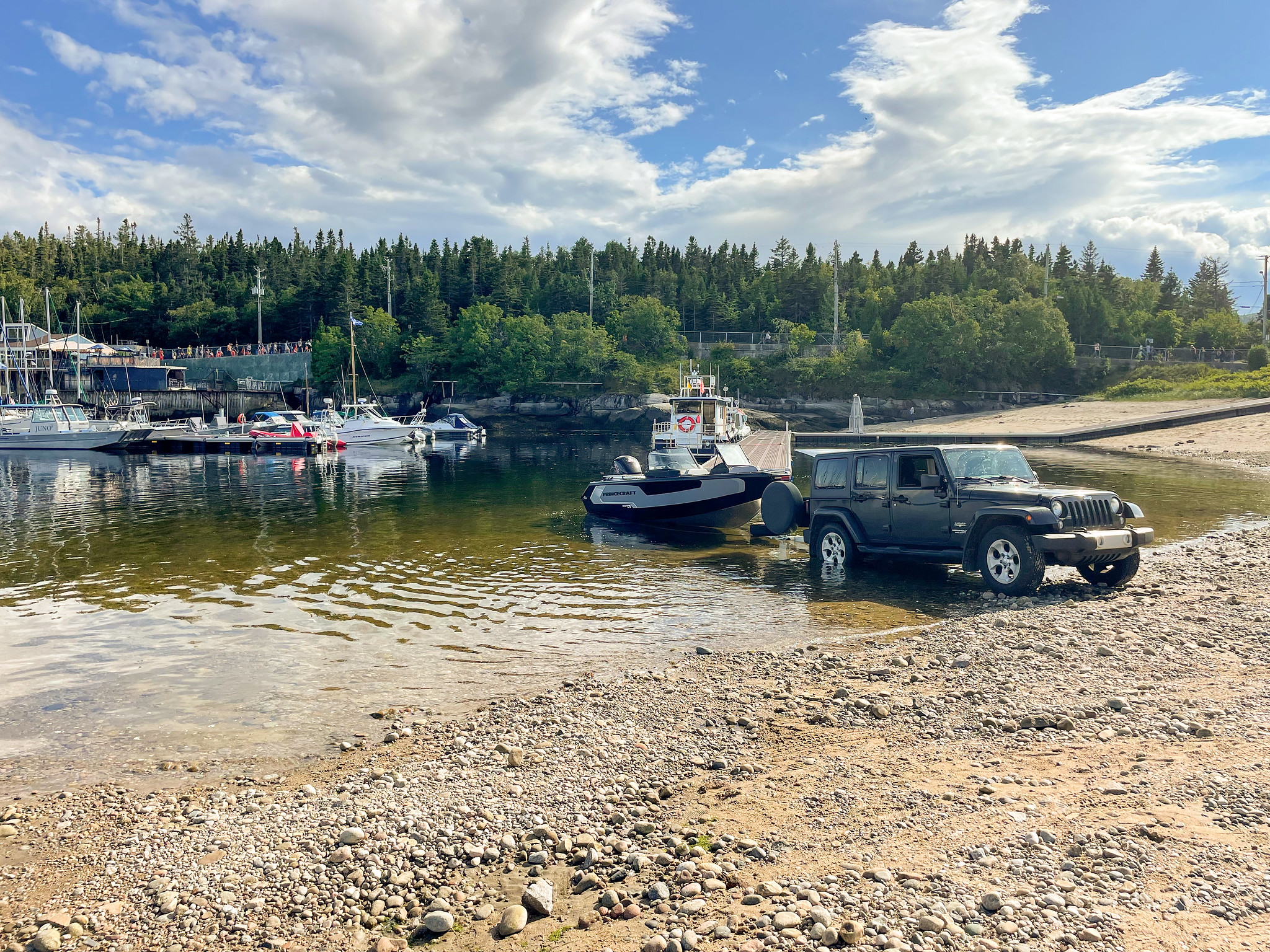 Tadoussac public beach boat ramp
With that behind us, we just had to exit the bay and set off toward our three lighthouses.
We prepared for this trip. Despite the good weather forecast (+22°C), we packed a complete set of travel gear:
- Windbreakers
- Hats
- Gloves
- Thermal underwear
- Wind-resistant pants
- Binoculars
- A cooler with food and water
- A camera
- A fuel canister (25L of extra gas)
- We put on life jackets
- We informed our friends where we were going, when we would return, and what to do if we didn’t check in at a certain time (a great precaution).
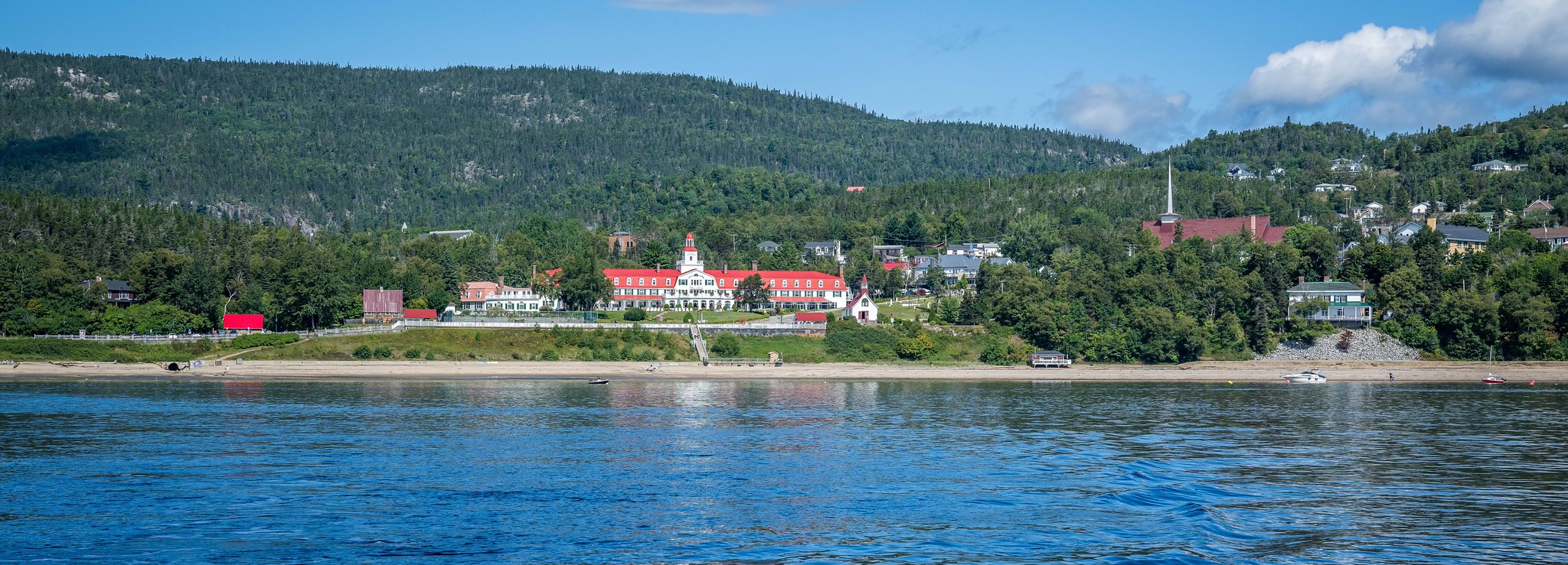 Tadoussac
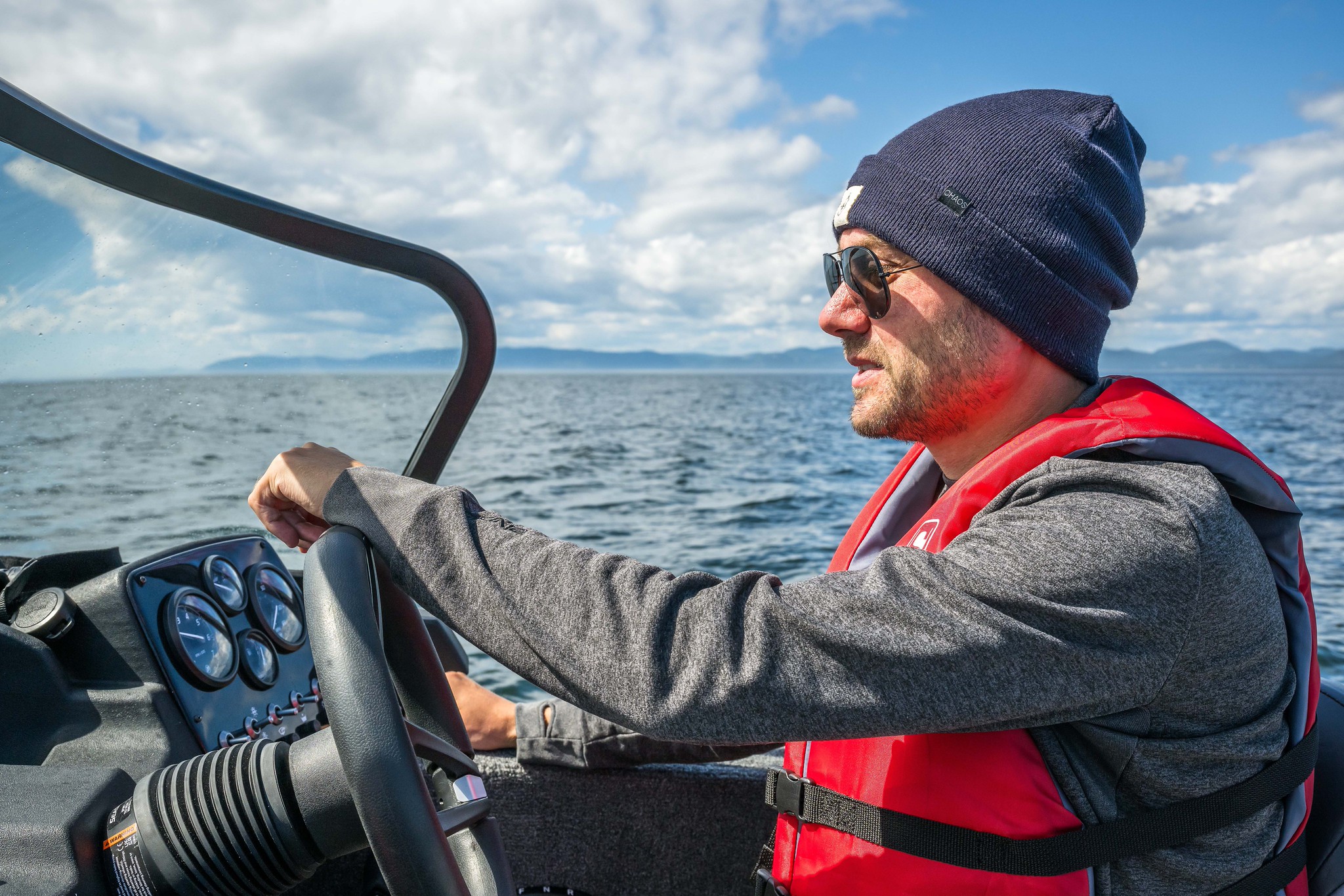 Myself
 St Lawrence River
Phare du Haut-Fond-Prince
Condition: Closed, not functioning
Owned by: Parks Canada
The journey to the Phare du Haut-Fond-Prince was a bit nerve-wracking. We were venturing onto a river 26 kilometers wide, with the opposite shore barely visible on the horizon. As we cruised, the wind shifted unexpectedly from warm to cold, creating unpredictable currents. The lighthouse was about 9 kilometers away, and it took us about 40 minutes to navigate the unfamiliar waters. We were lucky enough to spot a few whales, a common sight in the area.
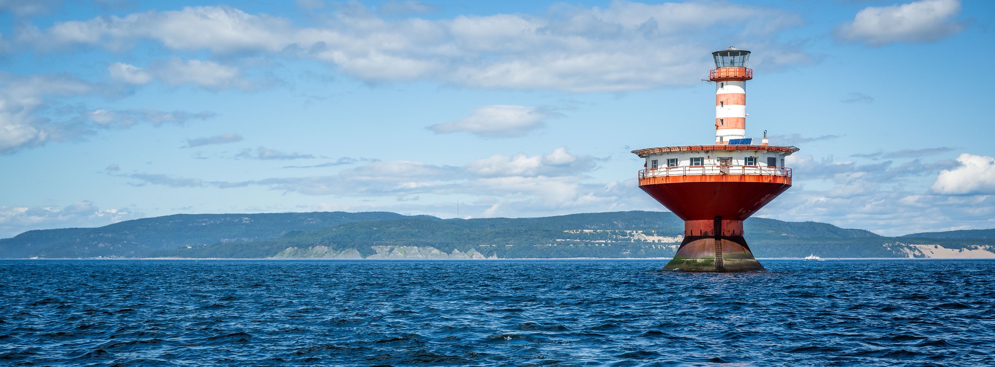 Phare du Haut-Fond-Prince (Lighthouse)
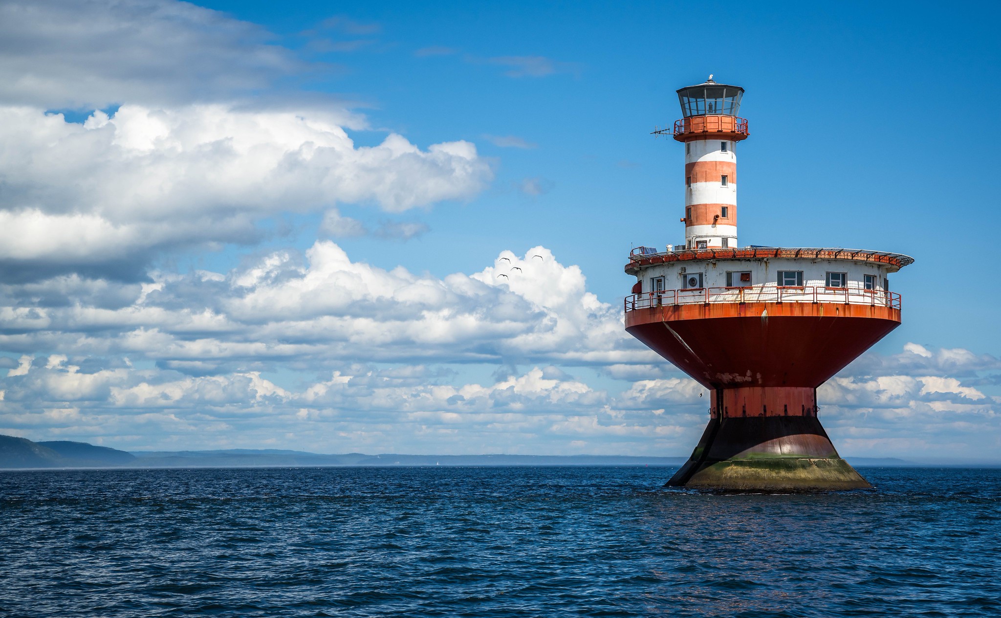 Phare du Haut-Fond-Prince (Lighthouse)
The Haut-Fond Prince Light Tower is a modern pillar light with a distinctive waisted caisson design. Anchored below the water’s surface, the caisson supports a low, round accommodation unit with a narrow gallery. The flat roof of this unit serves as a helicopter pad, while a cylindrical tower rises beside it, topped with a flared lantern. The tower is painted in a striking red and white color scheme, with alternating horizontal stripes and red accents on the caisson, railings, and window trims.
Situated at the mouth of the Saguenay River in the lower St. Lawrence, the light tower serves as a crucial hazard marker, with a range of 18 nautical miles. It plays an essential role in navigation on this major international shipping route, illustrating the evolution of aids to navigation, especially for winter maritime operations. Constructed in response to the year-round opening of the seaway in 1960, it replaced a seasonal lightship.
During the Christmas storm of 1966, the light tower endured extreme conditions, including high waves, fierce winds, and snow for two days. Despite significant damage, it demonstrated remarkable resilience, protecting the keepers inside and showcasing its design’s ability to withstand more severe weather than originally anticipated. This incident underscores the light tower’s importance in ensuring maritime safety and navigation.
We circled the lighthouse before heading to our next destination, a distance of 6 kilometers away.
Île Rouge Lighthouse
Condition: Closed, not functioning
Owned by: Parks Canada
As we ventured farther from the shore, the currents became more challenging, and a sense of unease settled in. We reached the Île Rouge lighthouse, located 6 kilometers away. We approached the island carefully, mindful of the shallow waters where a misstep could lead us to rocky trouble. This island is now under the stewardship of Parks Canada, with previous structures demolished in 2019, leaving just the lighthouse behind.
 Phare du Île Rouge (Lighthouse)
 Phare du Île Rouge (Lighthouse)
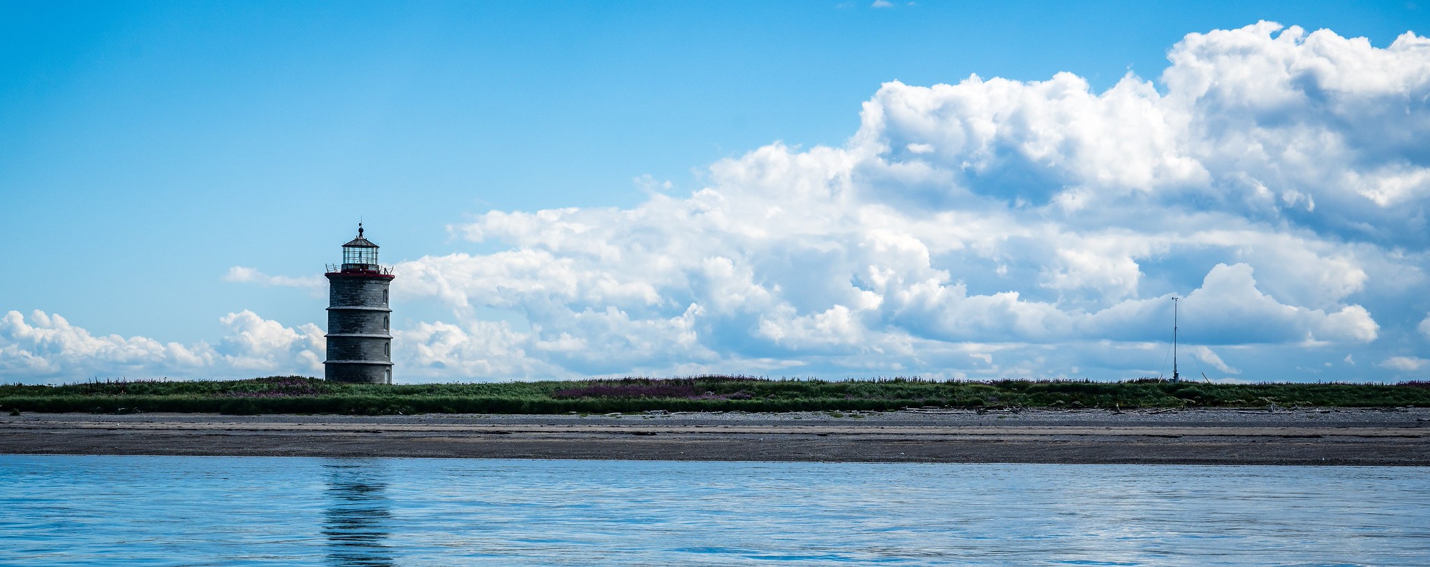 Phare du Île Rouge (Lighthouse)
 Phare du Île Rouge (Lighthouse)
 Phare du Île Rouge (Lighthouse)
The Île Rouge Lighthouse, 51 feet (15.5 metres) in height, was built in 1848 on the shores of Île Rouge. The structure is a cylindrical masonry tower with a circular cornice, platform, and a multi-paned lantern. A decorative iron and rope railing encircles the platform. The tower is clad in smooth, dressed ashlar stone with three evenly spaced string courses that give the impression of rings around the tower. Rising vertically above the arched entrance, and within the spacing between the string courses, are three Gothic-arched casement windows.
Exploring the Saguenay River
After visiting the Île Rouge lighthouse, we had planned to head to the l’Île Verte lighthouse, another 10 kilometers ahead. However, the daunting width of the river made me hesitant. Instead, we opted to return toward Tadoussac and explore the Saguenay River instead. Along the way, we were treated to more whale sightings. We ventured 16 kilometers upstream, marveling at the breathtaking Caribou waterfall before heading back to Tadoussac, loading the boat back onto the trailer and calling it a day. The remaining lighthouses would have to wait for our next adventure.
 Myself
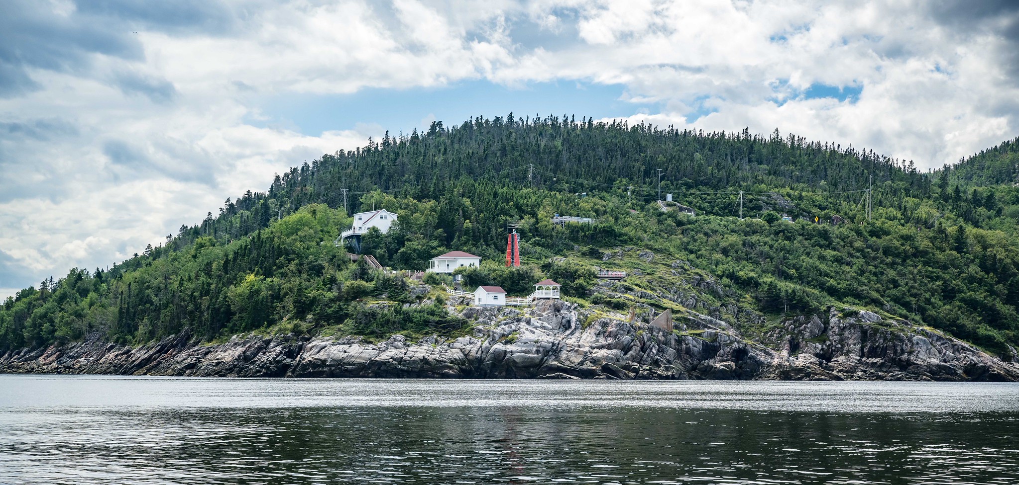 Baie-Sainte-Catherine
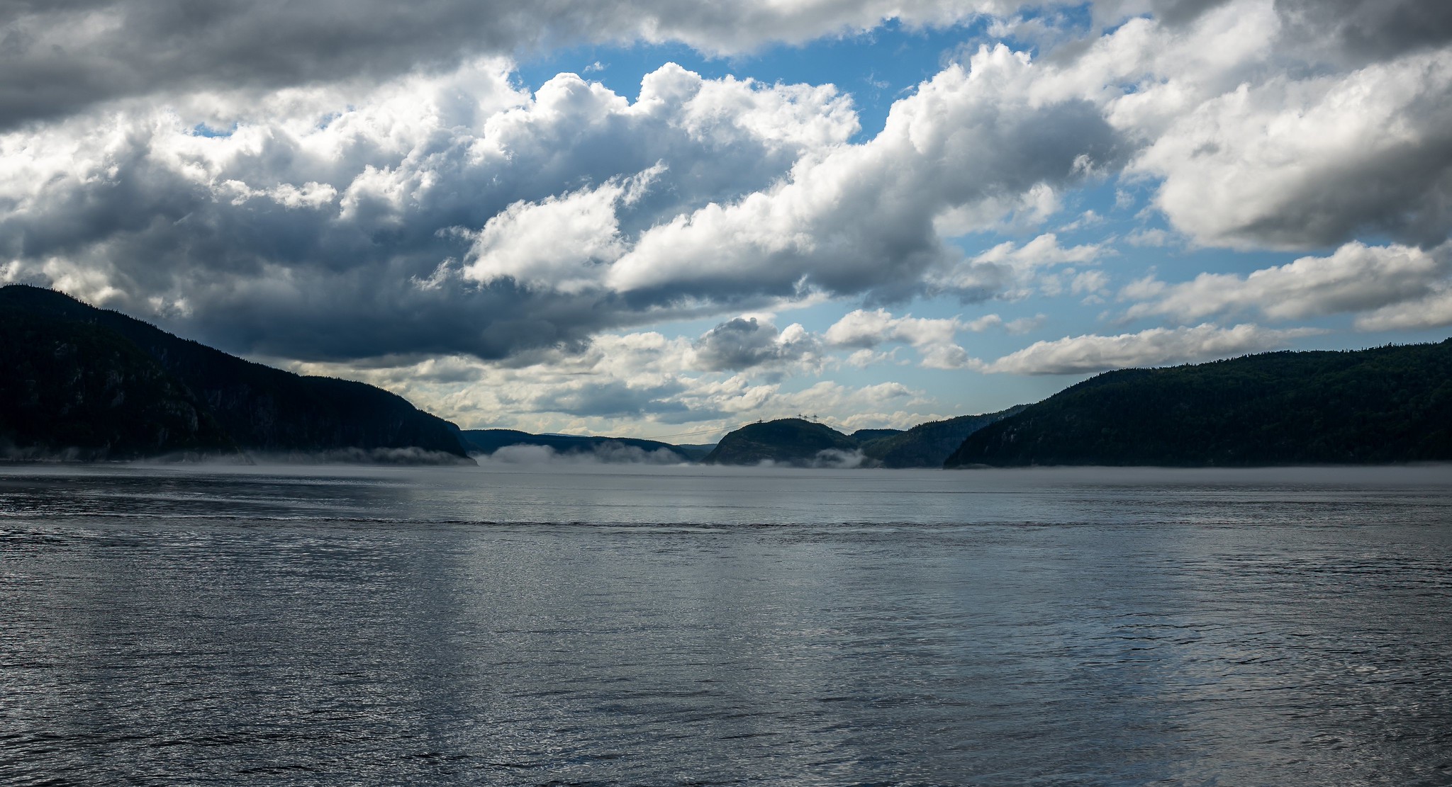 Saguenay River
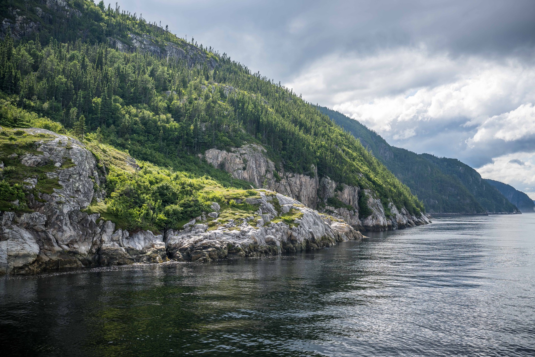 Saguenay River
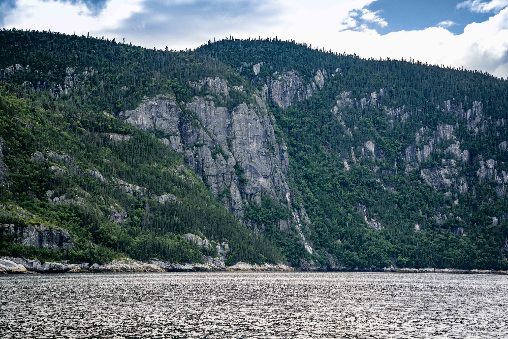 Saguenay River
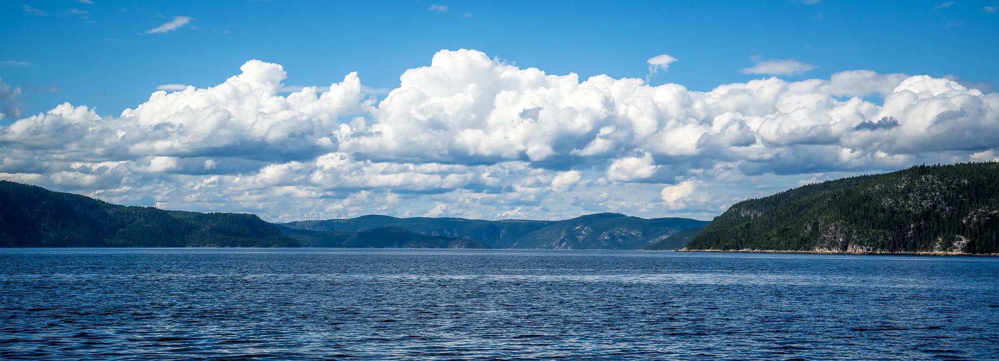 Saguenay River
 Saguenay River
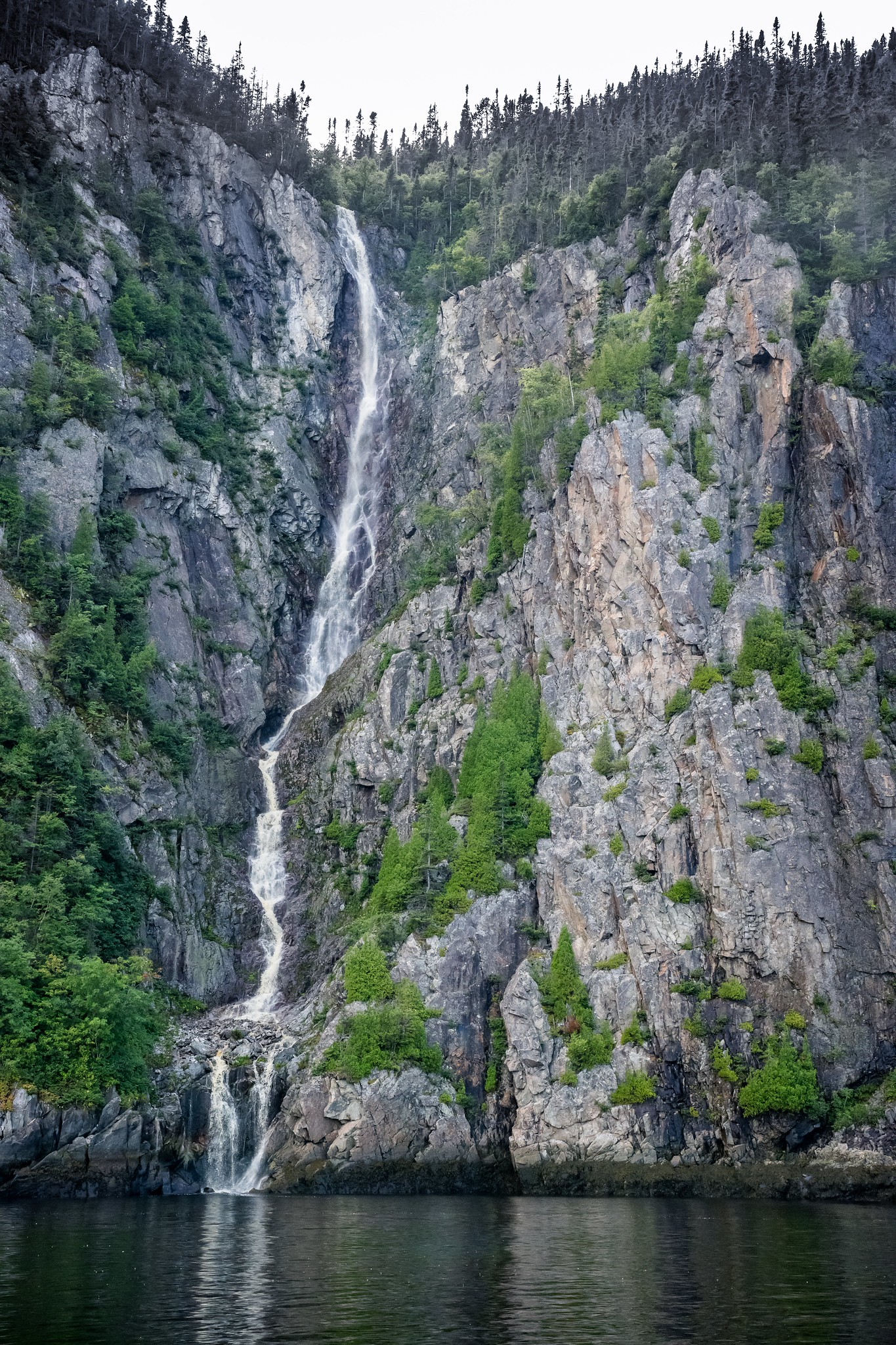 Caribou waterfall on Saguenay River
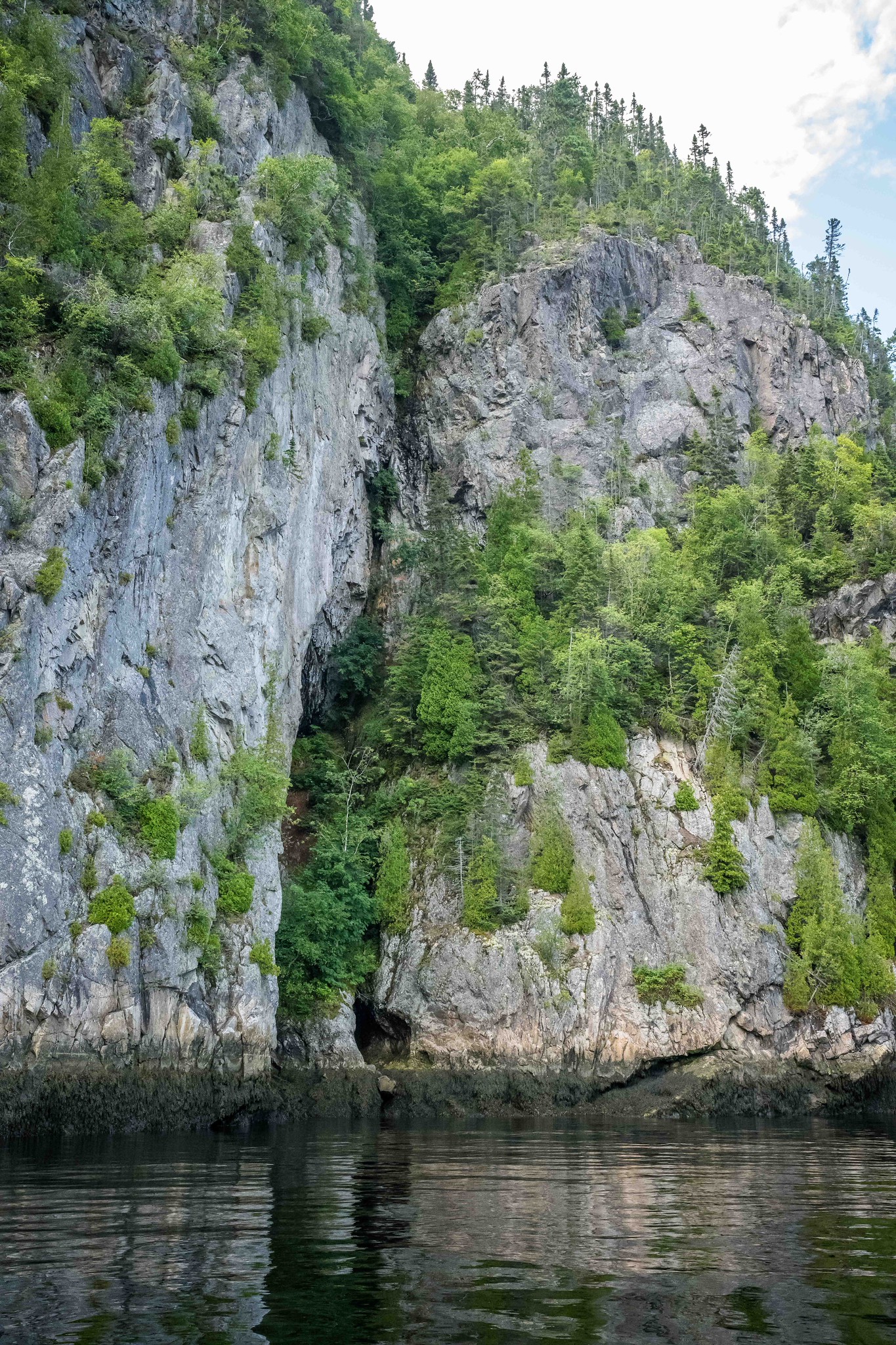 Saguenay River
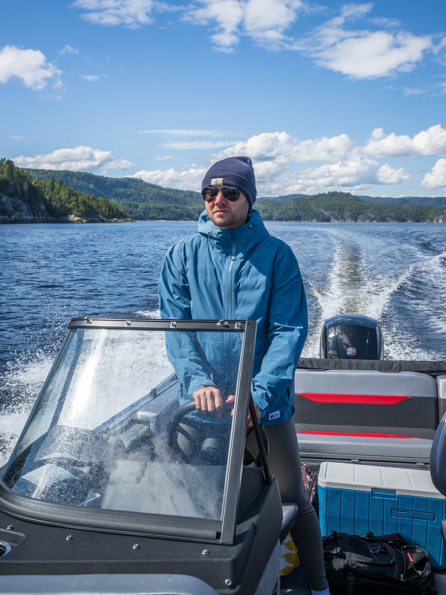 Myself
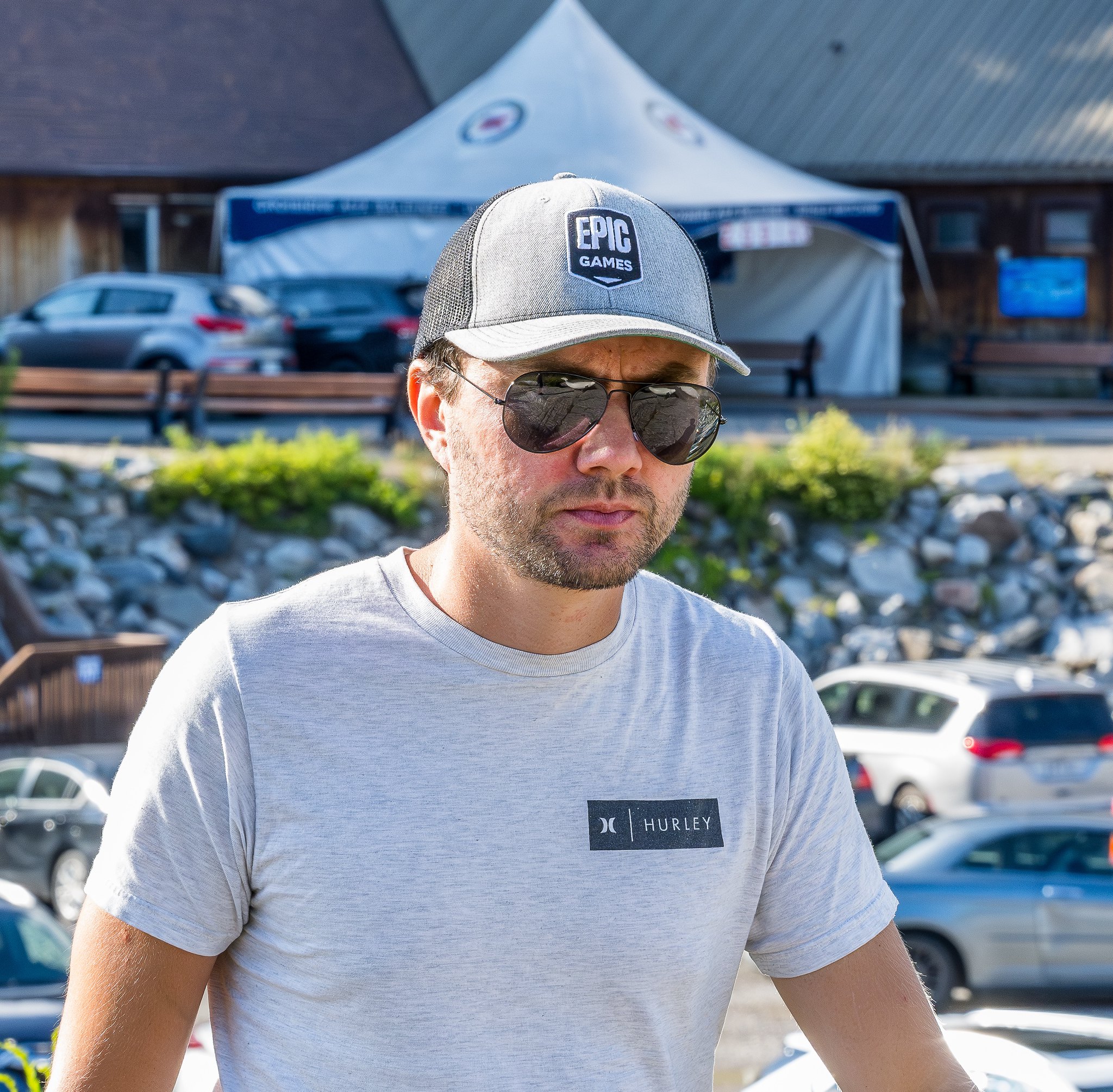 Myself
Returning to Rivière-du-Loup
Once back in Montreal, I started plotting our next lighthouse expedition. I kept tabs on the tides at Rivière-du-Loup, searching for the perfect moment to launch the boat. This town was our best bet for accessing all three remaining lighthouses. Surprisingly, we ended up visiting a fourth lighthouse that had eluded us during our first trip.
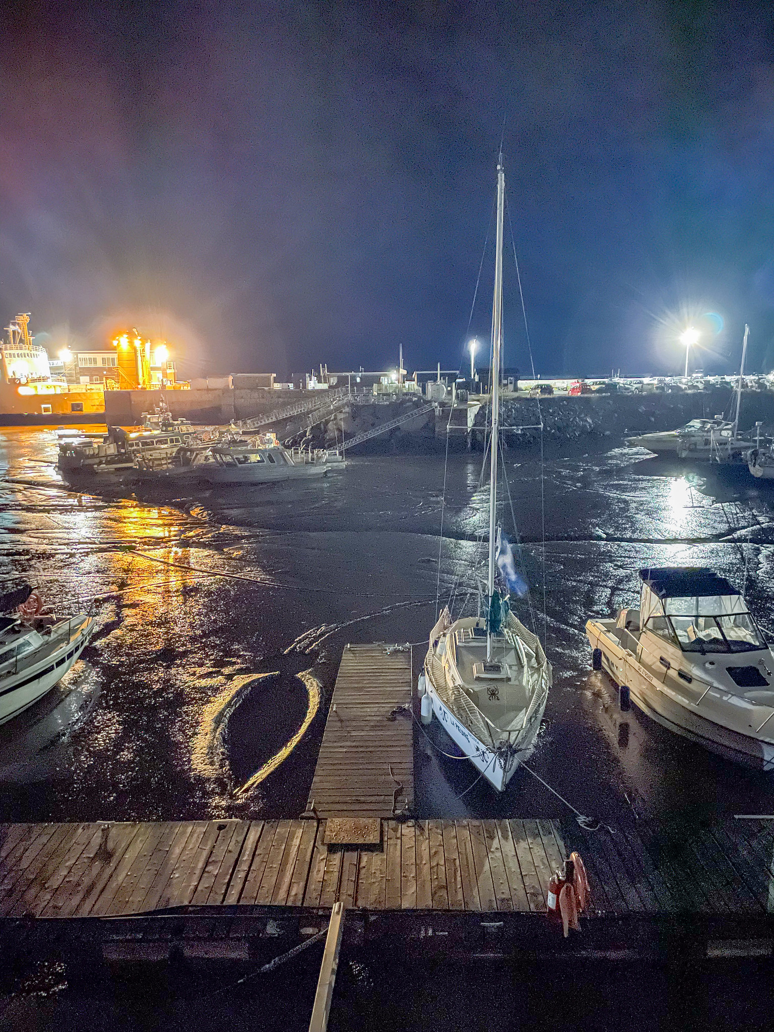 Rivière-du-Loup Marina during low tide
Just like before, we spent our first day driving and scouting the launch site. The tides were set to peak at 3:15 a.m. the next morning, so we planned to be on the ramp by 5:50 a.m. We left the hotel around 5 a.m., arriving by 5:30. By 5:50, we were sailing out of the harbor toward our first lighthouse, 9 kilometers away.
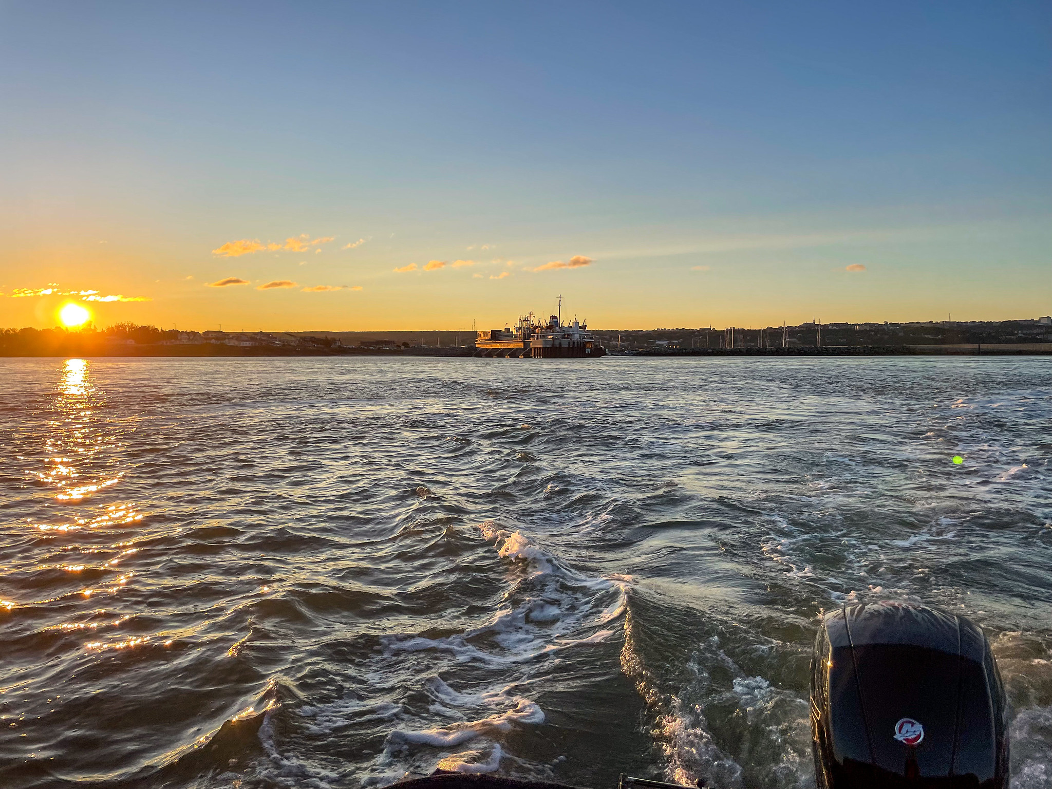 Rivière-du-Loup on sunrise
 St Lawrence River near Rivière-du-Loup
 St Lawrence River near Rivière-du-Loup
Brandy Pot Island Lighthouse
Condition: Open, functioning as a hotel
Owned by: Private company
The Pot à l’Eau-de-Vieu Archipelago, located offshore from Rivière-du-Loup within the Saguenay-St. Lawrence Marine Park, comprises three small islands: Gros Pot, Petit Pot, and Pot du Phare. The archipelago’s name reflects its reddish-brown rainwater, reminiscent of brandy, which sailors noted during French rule. Historically, it has been a site for shipwrecks and rescues, including the 1740 incident involving the Royal vessel Rubis and the 1835 shipwreck of the barque Endeavour, which led to a notable rescue.
 Brandy Pot Island Lighthouse
 Brandy Pot Island Lighthouse
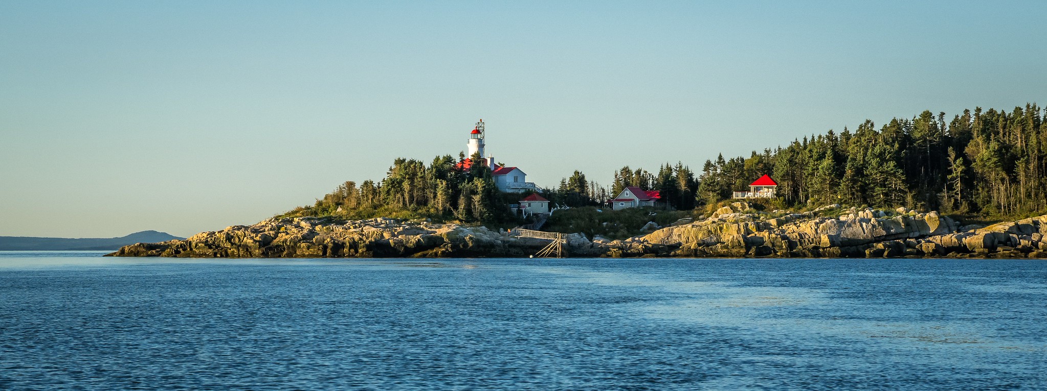 Brandy Pot Island Lighthouse
The Pot à l’Eau-de-Vie Lighthouse was constructed in 1862, designed by John Page, featuring a combined tower and dwelling structure. It operated without a fog alarm due to the challenging conditions of the surrounding waters. The lighthouse was managed primarily by two families until its automation in 1964, after which a modern light replaced it.
In 1979, biologists founded Société Duvetnor Ltée to preserve the region’s ecology, acquiring the lighthouse in 1986 and restoring it by 1989. The organization also developed a unique fundraising method through the collection of eiderdown. Today, the uninhabited islands host birds and seals, and visitors can stay overnight at the lighthouse, which is recognized as a Federal Heritage Building.
Next, we headed to the Cap-au-Saumon lighthouse, where we were greeted by a pod of beluga whales. Distance: 21 km.
Cap-au-Saumon Lighthouse
Condition: Closed, not functioning
Owned by: Private individual
In 1862, the Pot à l’Eau-de-Vie and Long Pèlerin lighthouses were established to aid mariners navigating the St. Lawrence River. Noting that pilots preferred the less clear northern channel, Chief Engineer William P. Anderson recommended additional lights near Hare Island and Cap au Saumon (Cape Salmon).
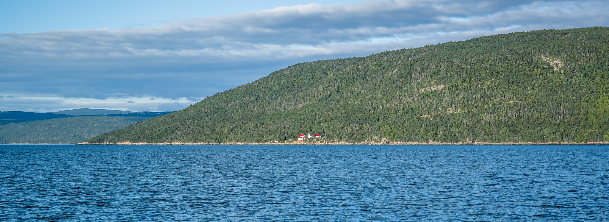 Cap-au-Saumon Lighthouse
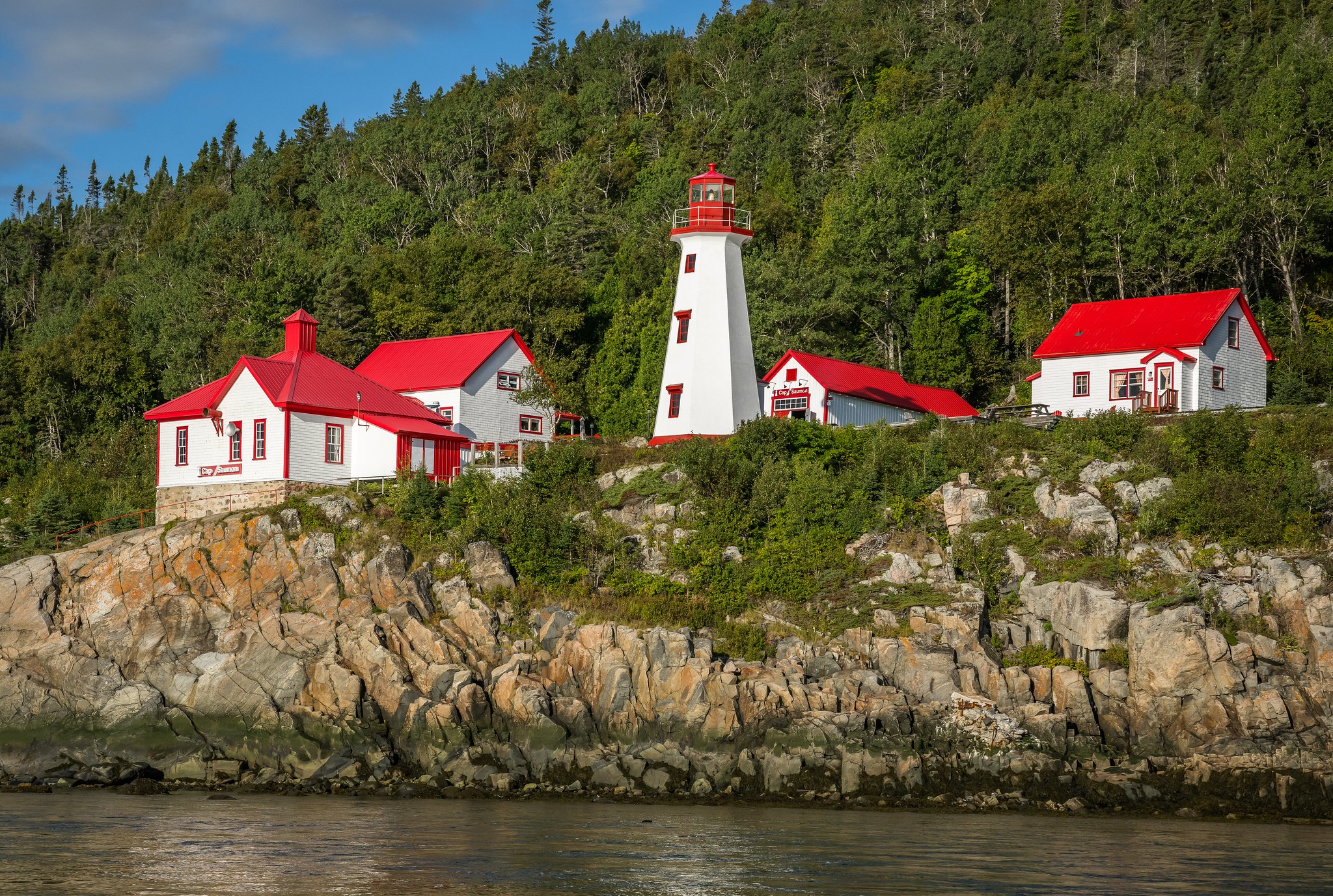 Cap-au-Saumon Lighthouse
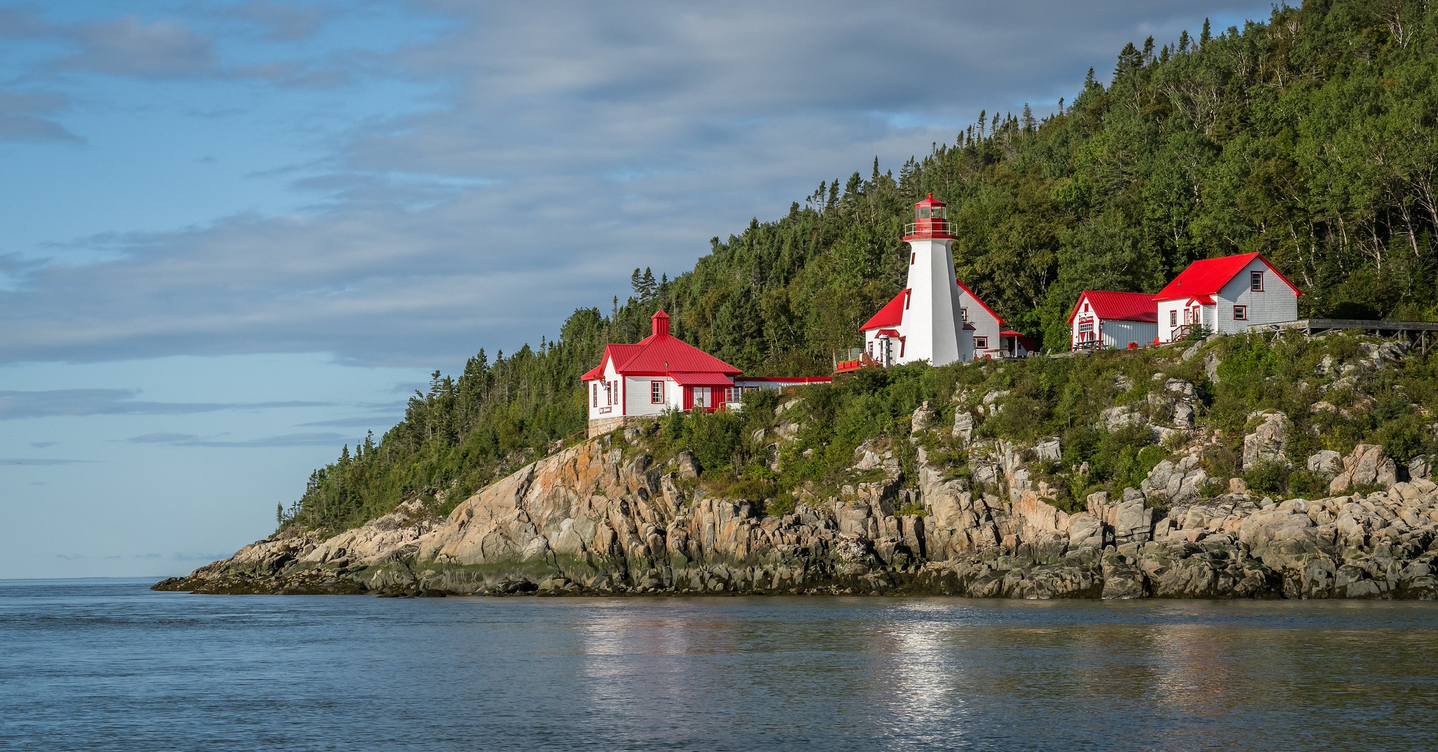 Cap-au-Saumon Lighthouse
In 1893, a lightship marked White Island Reef, and in 1894, the Cap au Saumon Lighthouse and Fog Alarm were constructed. The original lighthouse featured a steam-powered foghorn and was later replaced in 1955 by the current white octagonal tower, which flashes three times every fifteen seconds.
Lighthouse keepers lived in isolation, monitoring river traffic and reporting to Quebec City, a task for which they received minimal pay. The light was automated in 1980. In 2003, Peter Noreau formed the Corporation du Phare de Cap-au-Saumon to restore the abandoned lighthouse, with hopes of spending summers there.
The restoration of the Cap au Saumon Lighthouse is significant not only for preserving maritime history but also for promoting tourism and ecological awareness in the region. Noreau’s efforts highlight the importance of community involvement in heritage conservation, transforming the lighthouse into a landmark that connects visitors with the area’s rich maritime legacy and natural beauty.
Next, we set off to another lighthouse: Phare du Cap de la Tête au Chien. Distance: 17 km.
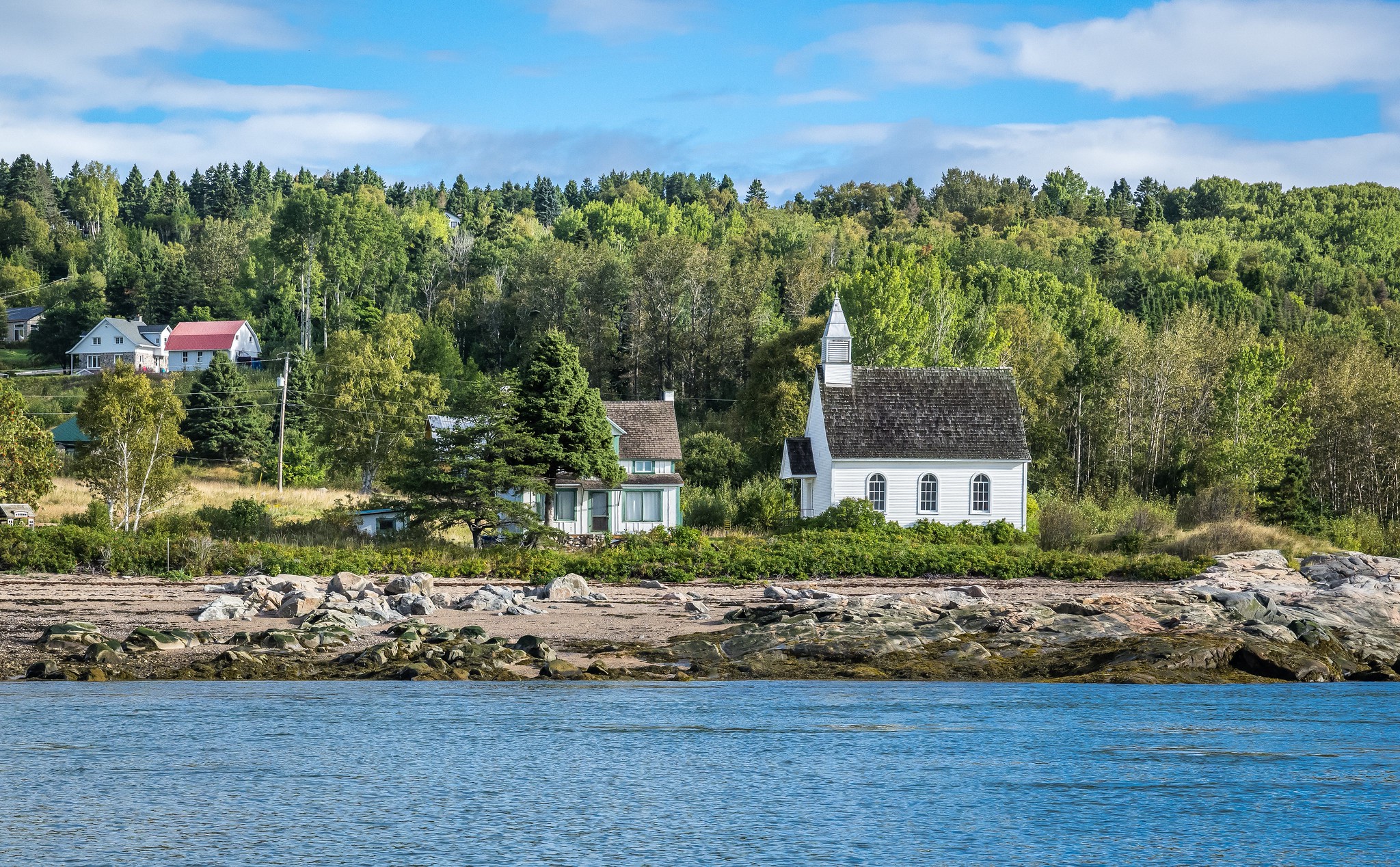 Port-au-Persil
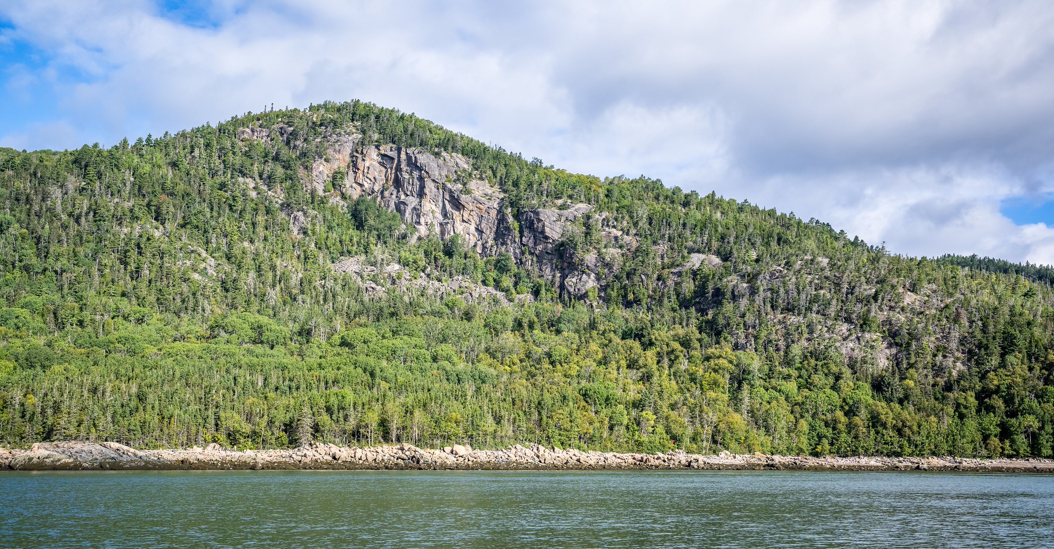 St Lawrence River
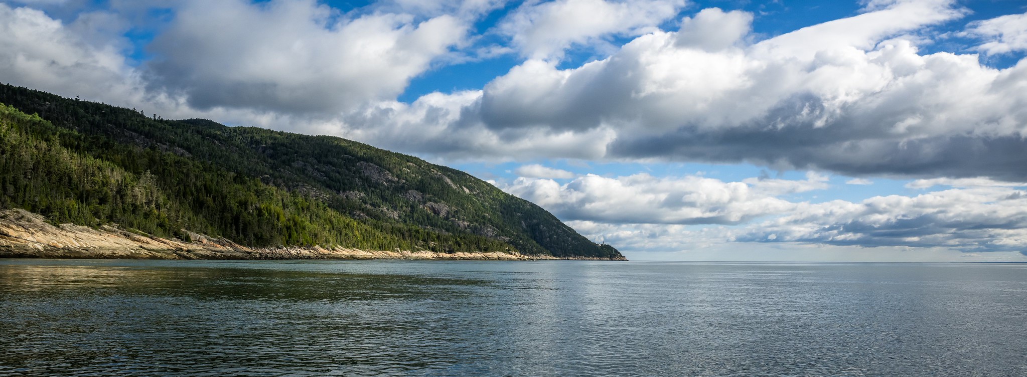 St Lawrence River
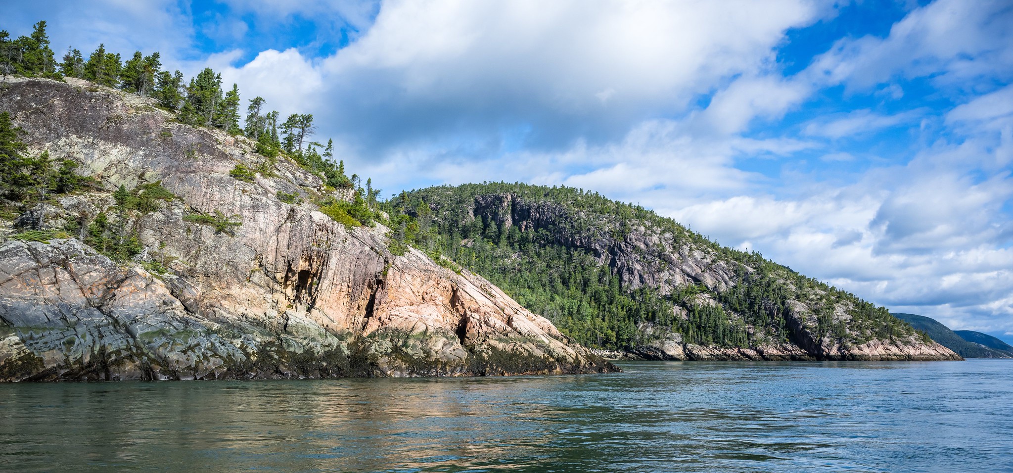 St Lawrence River
Phare du Cap de la Tête au Chien
Condition: Closed, accessible via helicopter tour
Owned by: Canadian Coast Guard
A series of long, narrow islands between Saint-Siméon and Rivière-du-Loup divides the St. Lawrence River into north and south channels, including White Island, Hare Island, and Strawberry Island. In 1862, Brandy Pot Lighthouse and Long Pilgrim Lighthouse were established to mark the south channel. By 1890, Chief Engineer William P. Anderson noted pilots’ reluctance to use the clearer northern channel due to its challenging conditions, leading to recommendations for additional lights.
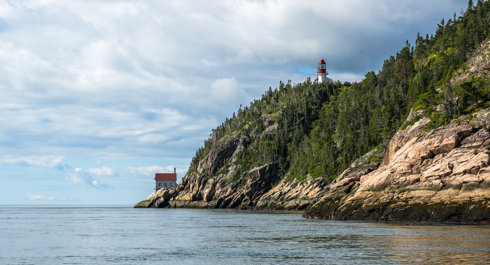 Phare du Cap de la Tête au Chien (Lighthouse)
 Phare du Cap de la Tête au Chien (Lighthouse)
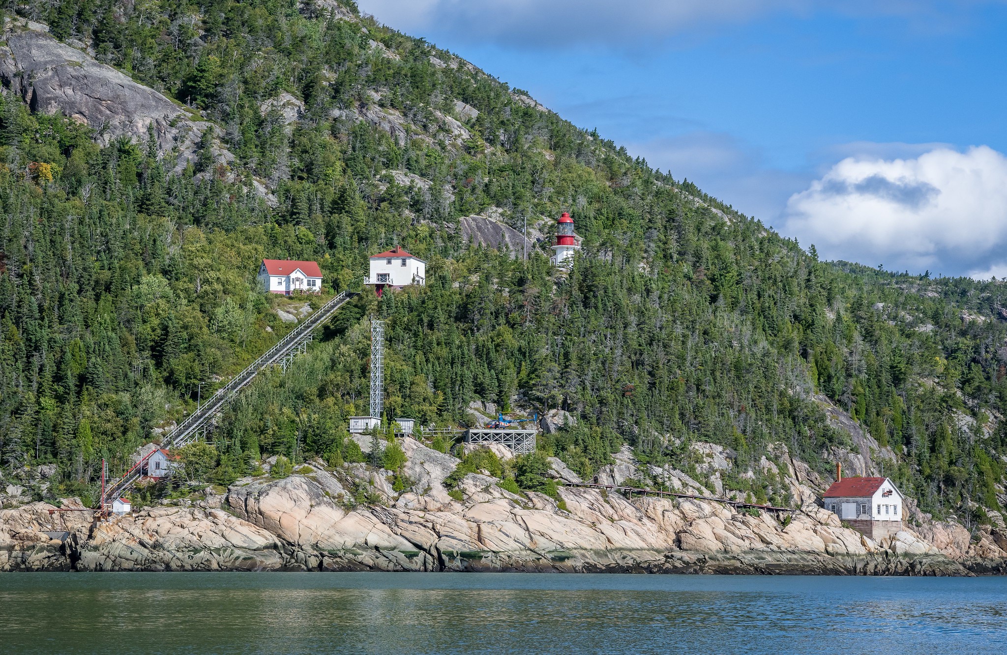 Phare du Cap de la Tête au Chien (Lighthouse)
In 1893, a lightship was stationed near White Island, followed by the establishment of Cape Salmon Lighthouse in 1894. By 1908, the Marine Department announced plans for a reinforced concrete lighthouse at Cape Dogs, involving significant construction efforts, including roadways and a dam for fresh water storage.
The new octagonal tower, featuring a double-flashing Fresnel lens, was built at a focal height of 207 feet. Originally illuminated by petroleum vapour, the light source was likely electrified in 1952. In 2011, a modern optic was installed after the original lens’s rotation mechanism failed. A fog alarm, built in 1950, is no longer active. Two residences at the station were constructed in 1957 and 1962.
While we explored its grounds, a helicopter flew in for a tour—what a sight!
After a long debate (I suggested not risking another lighthouse visit due to the long distance, to which he countered that we had a 25-liter fuel canister with us), we ultimately decide to proceed to Phare de l’Île Verte. Distance: 32 km.
 St Lawrence River
Phare de l’Île Verte
Condition: Open, functioning as a museum and hotel
Owned by: Private company
Île Verte, a crescent-shaped island in the St. Lawrence River, poses significant dangers for mariners due to its foreshore flats, strong currents, and frequent summer fog. Since 1750, over fifty marine tragedies have occurred near the island, prompting local petitions for a lighthouse. Construction of Île Verte Lighthouse began in 1806, completed in 1809 as the first lighthouse on the St. Lawrence and now the third oldest in Canada, designated a National Historic Site in 1974.
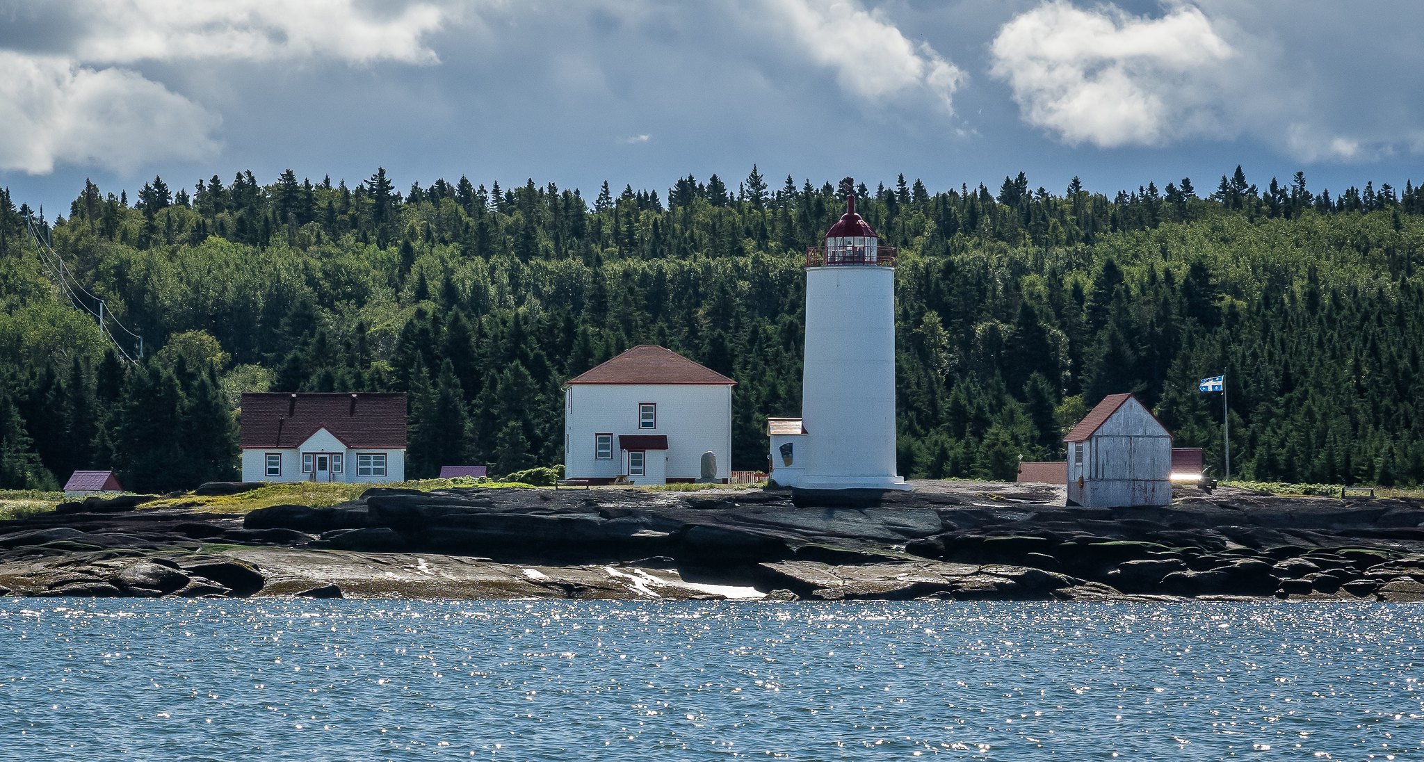 Phare de l’Île Verte (Lighthouse)
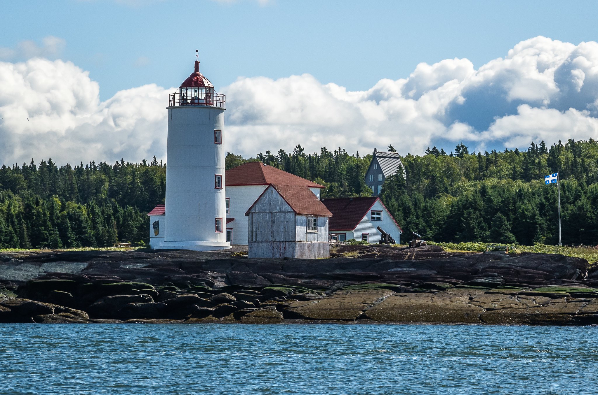 Phare de l’Île Verte (Lighthouse)
The lighthouse features a 56-foot octagonal stone tower with a red lantern room and initially used oil lamps for illumination. A nine-pound cannon was fired during fog and snowstorms for warnings. Keeper Charles Hembleton and later Robert Noel Lindsay oversaw the station, with Lindsay famously assisting survivors from the wrecked brig Acadia in 1831. A daymark known as “Le Blanc” was added in 1835, aiding navigation.
Throughout its history, the lighthouse saw improvements, including a new fog signal mechanism in 1894 and electrification in the 1950s. The Lindsay family maintained a lightkeeping legacy for 137 years, ending with Keeper Freddy Lindsay in 1964. Following automation in 1972, the site transitioned to a management corporation in 1996, which now operates a bed and breakfast and small museum. The area is also a prime location for whale watching, attracting visitors to enjoy the natural beauty and maritime history of Île Verte.
After this lighthouse, we head back to Rivière-du-Loup. Distance: 27 km.
Epilogue
We returned to Rivière-du-Loup, celebrating a friend’s birthday on the boat along the way. Before entering the harbor, we waited for the tide, and when it was safe, we arrived, loaded the boat onto the trailer, and set off home. Twenty minutes after leaving, we stopped for coffee. Luis said, “I’m not going anywhere without coffee—I’ve been dreaming about it all morning.”
We start to ponder our future travel plans.
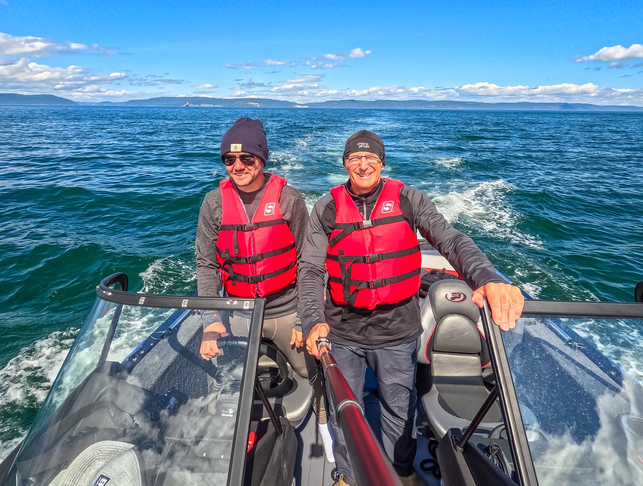 With my friend Louis Richer
Most of the pictures are made Louis Richer, some of the pictures are made by myself.